
There is plenty of evidence that people were inhabiting our landscape well before the Iron Age.
Earlier, during the Bronze Age [c. 2300-800 BCE] several long-distance trade routes came into being with The Harrow Way perhaps the oldest.
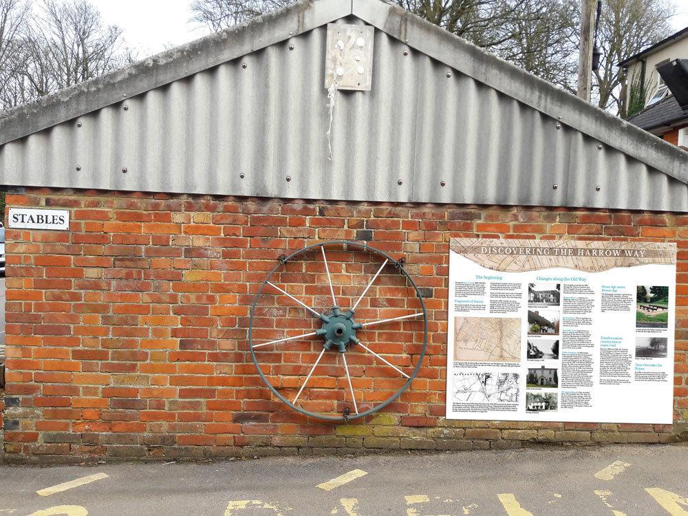
From the west, the track entered our area along Pack Lane, continuing eastwards along the Tunworth Road and on to the coast of Kent.
Depending on the state of lowland routes during winter, alternatives up and down hills were a dry option.
A Celtic cist burial was found in 1885 when the footings for a house for John Burgess Soper’s daughter and son-in-law were dug in Vyne Road.
The son-in-law was called Charles Cooksey and was a keen antiquarian. The finds are recorded in Reading Museum.
Another such burial was found when the cutting was dug for the GWR line from Reading to Basingstoke near Norn Hill.
The hill fort at Winklebury, which was occupied on and off from the sixth century to the first BCE would have once contained roundhouse buildings as well as livestock, sheltered with a substantial ditch to keep out animals and trouble-makers.
The Ring has been farmed for centuries. Iron Age or Romano-British farmsteads, dating from before the Romans arrived in 43 AD were at Oakridge, Viables, Buckskin, Rucstall’s Hill and South Ham.
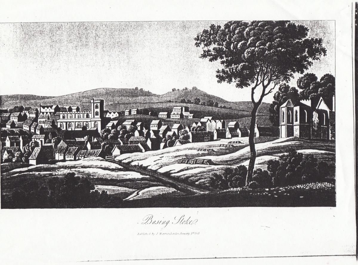
Basingstoke’s name tells us that it was a ‘stake’ or settlement outside the village of Basing, so we know that the village was settled earlier.
In Basingstoke, there is some evidence of Roman settlement near Oakridge Road – remains of a bath house and hypocaust were found. Romans passed us by using the road from Silchester to Winchester.
The fine stone coffin in The Willis Museum reminds us of the wealthy Romans making their journeys between the two towns.
Calleva Atrebates, as Silchester was known, had been settled much earlier by tribes from the Low Countries, but clearly suited the Romans who built a fine town, as many who have followed Reading University’s annual archaeological digs will know.
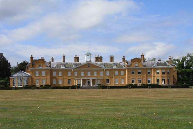
Reading museum has an excellent Silchester collection, and a mosaic floor is in Stratfield Saye House.
A memoir by a girl growing up at The Mount in Bounty Road in the early 1900s recalled riding out to the Roman Road and noting the unaltered surface of the old road – possibly still there today beneath many layers of tarmac.
Anglo-Saxon settlement brought a fine building at Lychpit (Cowdery Down) and in 870 a battle there between Danes and Saxons defeated Alfred and his brother.
The name Lychpit meaning corpse-ground is thought to be the place where the dead from the battle were buried.
In 1995, evidence of Saxon settlement was found when the 1960’s Riverdene estate was extended to the east.
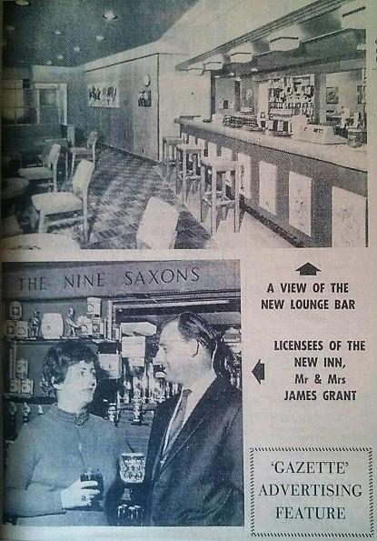
Better known was the discovery of a well in 1965, some 26m deep, found when the Oakridge estate was being built, which contained both animal skeletons and parts of 27 human skeletons, It was dated to the Iron Age and Romano-British periods and led to the fanciful pub name of ‘The Nine Saxons’ at Oakridge Centre.
Look it up online – it’s a fascinating story.
Examination of one of the skulls done in 2020 showed evidence of brutal facial mutilation - probably a punishment.
The second part of this column will be published next week.


Comments: Our rules
We want our comments to be a lively and valuable part of our community - a place where readers can debate and engage with the most important local issues. The ability to comment on our stories is a privilege, not a right, however, and that privilege may be withdrawn if it is abused or misused.
Please report any comments that break our rules.
Read the rules here