

ANDOVER could be in line for a greater risk of snow in the coming week.
Despite the widespread news reports suggesting the nation would wake up to snow, Andover remained untroubled by the white stuff.
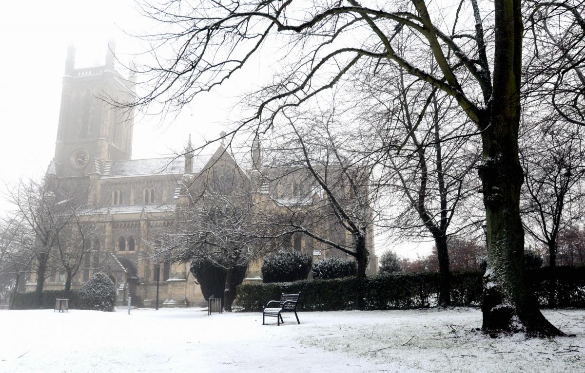
Local weather recorder Trevor Wheeler, whose measurements are used by the Met Office, says that at the moment the weather is in a very mobile situation, with depressions passing over the UK.
He added: "As they do so they are dragging down behind them cold air which greatly increases the chance of snow, but here in the Andover area we may not be too badly affected.
"However, next week may be different, as some very cold air is expected to assert itself over the area, greatly increasing the risk of more substantial snowfall, but we will have to wait and see as it just depends how and where the jet stream decides to place itself.
"We did have a light covering of snow on Tuesday morning over the tops of the surrounding hills at Hurstbourne Tarrant."


Comments: Our rules
We want our comments to be a lively and valuable part of our community - a place where readers can debate and engage with the most important local issues. The ability to comment on our stories is a privilege, not a right, however, and that privilege may be withdrawn if it is abused or misused.
Please report any comments that break our rules.
Read the rules here